A challenging 5.6 miles (9.0 km) walk that has a bit of everything along the South West Coast Path, and gives superb views of both sea and estuary.
It skirts the magnificent estuary of the River Dart and also explores part of Dartmouth. Not surprisingly, variations of this route are among the most popular walks in South Devon.
A summary of the route is provided below – but for a detailed route, please visit the South West Coast Path Website.
Route Summary
The walk starts at Dartmouth Station, next to the ferry landing pontoons.
Cross the road to the little harbour, known as the Boat Float, and walk away from the river alongside the Boat Float to the inland side, the original quay.
Turn left along Fairfax Place then a little way along turn right, up Smith Street.
Follow Smith Street uphill as it narrows then climbs steeply to the left. At the top bear left into Above Town.
Keep following Above Town – attractive views open up ahead down the estuary to the river mouth. After a while the road descends steeply to join Warfleet Road. Bear right and ahead along Warfleet Road, descending slightly. At the bottom of the hill turn left into Castle Road, rounding the top of Warfleet Creek.
Where the road forks, bear right. After an initial climb keep ahead along the lane and on at the end of the parking area on the lane uphill. Keep climbing to a junction by a cottage. Bear slightly right here, still uphill, and continue climbing. This is the most energetic climb on the walk. The path steepens, but at the top is the reward of superb views over the mouth of the Dart.
Keep on to pass the rear of the coastguard cottages. Continue ahead through the gate and follow the path around the top of a bowl-like feature. From here, there are superb views along the coast westward to the prominent landmark of Start Point and its lighthouse.
Go through the gate to a hedged green lane. At the end of the green lane continue ahead through the farmyard of Little Dartmouth Farm and along the access lane beyond to arrive at a car park. At the car park turn left and go through the gate in the far right corner. The walk has now reached its farthest point from Dartmouth. From here it follows the Coast Path back into the town. Keep an eye open for the National Trail acorn waymarks and arrows.
Follow the path towards the sea, bearing left to stay on the cliff top at the kissing-gate and bench. Continue alongside the fence.
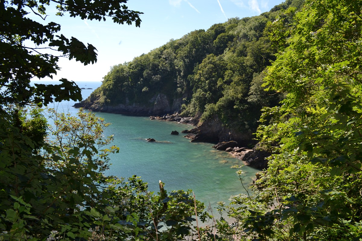
Follow the path left through the gap in the wall at the end. Shortly after passing a pond follow the path as it bears to the right, then keep on to the right-hand end of the field. Continue along a path between fields and the cliff edge. The path passes high above some almost hidden coves here, the haunt of peregrine falcons who hunt these cliffs.
After some undulations the path descends to a grassy valley which heads down towards the sea. Turn right down this valley. Approaching the bottom, bear right along the narrower path to a stile.
Cross this then turn left to descend to sea level at Compass Cove. Cross a footbridge spanning a rocky inlet.
Follow the path alongside the rocky platform. It then begins to climb next to the mouth of the estuary.
Continue climbing, steeply at times, into woodland. The path then emerges from the woodland onto a surfaced lane.
As this starts to descend, bear off right on a path descending through more woodland. At the junction at the bottom turn right, the path then zig-zagging steeply down numerous steps until it arrives above the scenic Sugary Cove. For those who wish to explore, there are steps down to the cove.
To continue the walk, climb the steps on the far side of the cove and continue above a grassy picnic area on a wide tarmac path. At the end the path meets a lane by a parking area. Turn right here, down more steps, to arrive at Dartmouth Castle.
Walk down the steps next to the café and bear left at the bottom to St. Petrox Church.
Pass the church and continue on the tarmac path. For a different means of returning to Dartmouth a ferry can be taken from here back to the town during the summer.
At the road at the end of the tarmac path turn left then immediately right onto a footpath above the road.
At the end of the path continue ahead along the road, retracing the walk’s outward steps around Warfleet Creek. At the junction with Warfleet Road turn right, cross to the footway, and follow the road towards the town.
Approaching the town, look out for some steps descending on the right. There is a Coast Path sign pointing down. Turn right down these steps, which lead to Bayards Cove Castle.Continue beyond on to the quay at Bayards Cove.
Continue ahead past the Dartmouth Arms then turn right to follow the Embankment back to Dartmouth Station and the Boat Float.